Point Pinos | MARINe
Point Piños
Click here for Long-Term trends
Click here for Biodiversity Survey findings
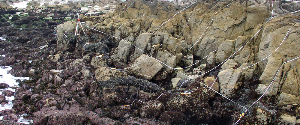
Point Piños is located in the Central Coast region of California, within the Monterey Bay National Marine Sanctuary. This site is located within the Asilomar State Marine Reserve. This site is 1.55 miles southeast of the Pacific Gove/Lovers Pt Mussel Watch site. This site receives high visitation by tidepoolers, and is often visited by school groups. This moderately sloping site consists of extremely uneven terrain, containing many deep cracks and folds.

Point Piños is dominated by a mixture of consolidated granite, boulder fields, and cobble beach, and the area surrounding the site is comprised of a mixture of consolidated granite, boulder fields, and cobble beach. The primary coastal orientation of this site is west/northwest.

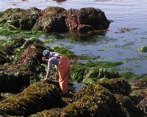
Long-Term Monitoring Surveys at Point Piños were established in 2007 and are done by University of California Santa Cruz. Long-Term MARINe surveys currently target the following species: Chthamalus/Balanus (Acorn Barnacles), Mytilus (California Mussel), Silvetia (Golden Rockweed), Mastocarpus (Turkish Washcloth), and Pisaster (Ochre Star). In addition, motile invertebrates, barnacle recruitment, mussel size structure, and water temperature are monitored at this site. Click here to view Long-Term trends at this site.
Biodiversity Surveys were done in 2007, 2017, and 2021. The Biodiversity Survey grid encompasses one section that is approximately 20 meters (along shore) x 15 meters (seaward). Click here to view Biodiversity Survey findings at this site.
This site is also regularly surveyed by LiMPETS (Long-term Monitoring Program and Experiential Training for Students) which is an environmental monitoring and education program for students, educators, and volunteer groups. You can access site specific data from this citizen scientist and educational broad scale trend monitoring program.
For more information about Point Piños, please contact Pete Raimondi (raimondi@ucsc.edu).


