
Sequit Point | MARINe
Sequit Point
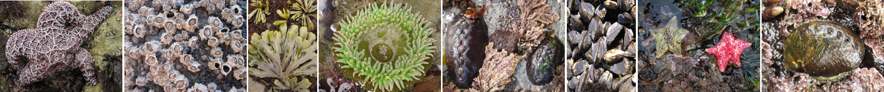
Click here for Biodiversity Survey findings
Sequit Point is located in the South Coast region of California, within an Area of Special Biological Significance (Mugu Lagoon to Latigo Point ASBS). This gently sloping site consists of moderately uneven terrain, containing few cracks and folds.
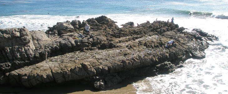
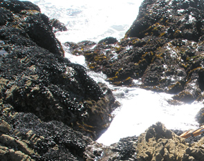
Sequit Point is dominated by consolidated bedrock, and the area surrounding the site is comprised of a mixture of consolidated bedrock, boulder fields, and sandy beach. The primary coastal orientation of this site is south.
Biodiversity Surveys were done in 2009, 2013, 2018, 2021, and 2025. The Biodiversity Survey grid encompasses one section that is approximately 20 meters (along shore) x 25 meters (seaward). Click here to view Biodiversity Survey findings at this site.
Sequit was sampled in 2015 as part of a Natural Resource Damage Assessment (NRDA). Biodiversity Linked Vertical Photoplot (BLVP) and motile invertebrate surveys were done as part of the NRDA.
For more information about Sequit Point, please contact Pete Raimondi (raimondi@ucsc.edu).
