
Mexico | MARINe
Mexico Baja
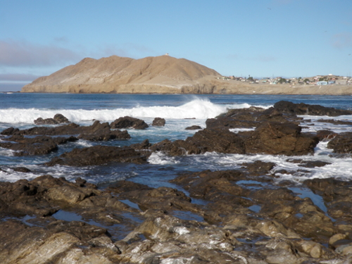
The Baja Peninsula is a 1,300 km long, relatively narrow (30-240 km wide) finger extending south from the US/Mexico border and separating the Gulf of California from the Pacific Ocean. It comprises two Mexican states, Baja California in the north and Baja California Sur in the south. The peninsula spans two biogeographic regimes, with a temperate Mediterranean climate in the north and sub-tropical climate in the south. Large tidal ranges and seasonal fluctuations in air and water temperatures on the east coast result in intertidal communities consisting of species with wide tolerance to desiccation and temperature extremes. Relative to the east, environmental conditions on the west coast are more moderate and stable.
 At the southern edge of the California Current and spanning nearly 10 degrees in latitude, the Baja Peninsula experiences a drastic North-South climatic gradient and a series of two major transitions in oceanographic regimes. Upwelling occurs throughout nearly the entire peninsula to varying degrees during the peak upwelling season from April to June. The northern coast represents an extension of the Southern California Bight and transitions into a strong upwelling dominated coastline near Punta Baja (30 deg. N) that continues south to Punta Abreojos (26 deg. N). The semi-permanent eddies surrounding the upwelling maxima at Punta Eugenia (28 deg. N) create a biological north/south genetic discontinuity for many taxa, making it the southern terminus for many temperate species. The shift from temperate/subtropical species to subtropical/tropical species occurs between Punta Eugenia and Bahia Magdalena (24 deg. N), the northern terminus for many tropical species (Ibarra-Obando et al. 2001).
Pivotal moments in the development of the peninsula were the inception of the Transpeninsular Highway No. 1 in 1973 and the signing of NAFTA in the 1990s. Since then, modern agriculture has transformed much of the northern peninsula, leading to desert scrub habitat loss and overexploitation of aquifers. High rates of coastal development, particularly near Tijuana and Ensenada, have often outpaced urban infrastructure capacity and led to coastal pollution. Despite substantial opposition due to environmental concerns, construction of the first liquified natural gas (LNG) import terminal and associated pipelines began in 2005 north of Ensenada by Energía Costa Azul. Subsequent underutilization of the terminal prompted its conversion into an LNG liquefaction facility, which will significantly increase both the capacity of the facility and shipping traffic to the Baja Peninsula. In Baja California Sur, construction of an LNG import terminal is underway at the Port of Pichilingue, La Paz and it should be operational by late 2020.
Although the peninsula lacks a network of MPAs, regions of coastal waters are protected under varying legal frameworks, including local Marine Reserves, Wetlands of International Importance (Ramsar Sites), UNESCO-MAB Biosphere Reserves, National Biosphere Reserves, and National Flora and Fauna Protection Areas. Local fishing cooperatives also play an important role in managing marine resources as they self-regulate by establishing and enforcing catch-limits and quotas.
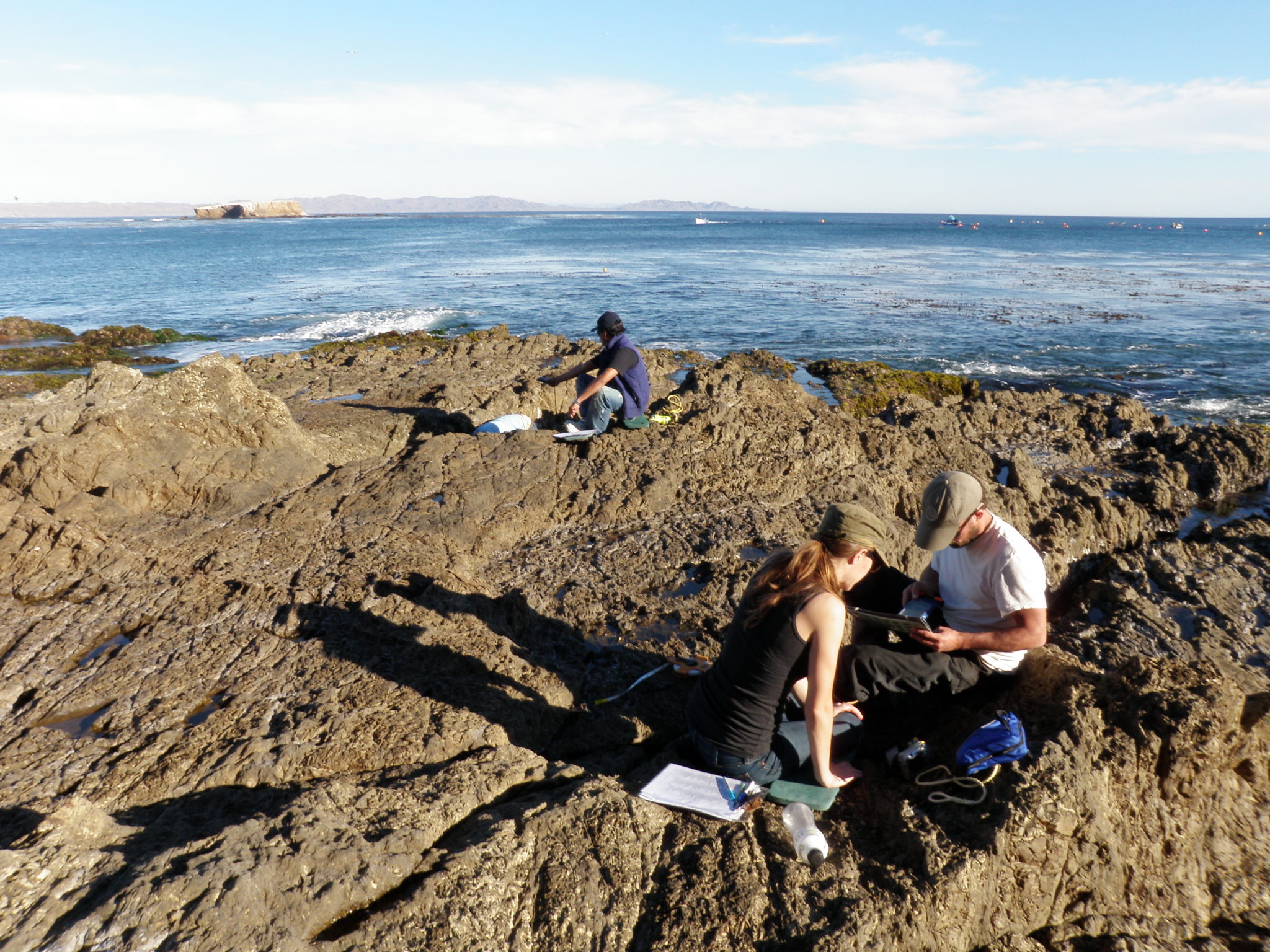
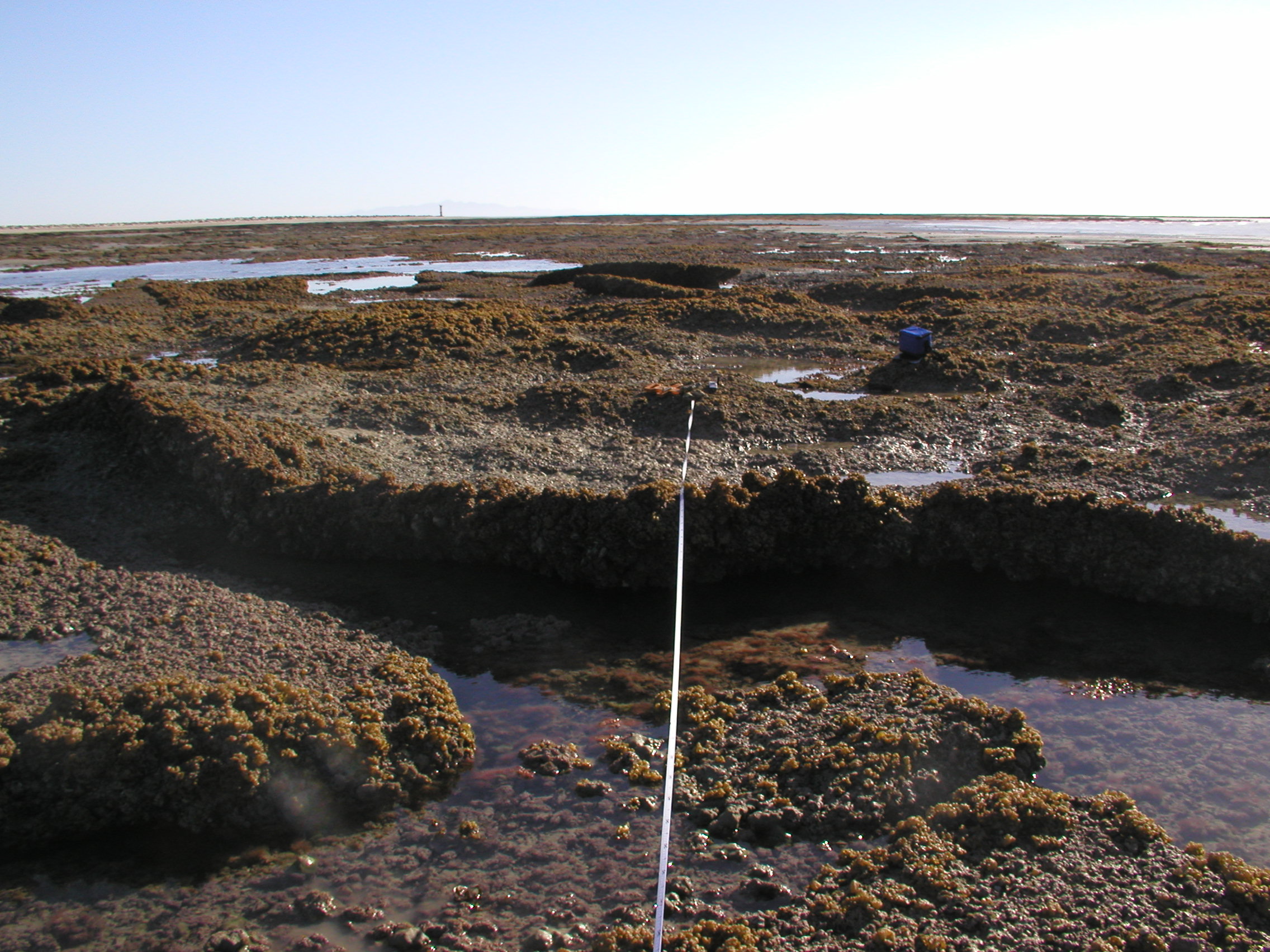
MARINe partners with the research group MexCal at the Universidad Autónoma de Baja California for Long-Term Monitoring Surveys and Biodiversity Surveys in the Pacífico Norte region. On Isla Natividad, MARINe partners with the local fishing cooperative Buzos y Pescadores. This fishing cooperative is a pioneer in sustainable conservation, management and gender equality worldwide. For instance, in 2006 they established three no-take marine reserves around the island and designed and implemented a community-based monitoring program. With the help of COBI, this fishers cooperative is open to interactions and discussion with academic research groups such as MARINe.
Biodiversity Surveys and Long-Term Monitoring Surveys were established in the region in 2003.
The MARINe sites located within the Baja Mexico region are listed below (arranged north to south):
Mexico Gulf
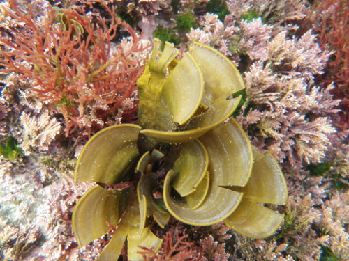
The Gulf of California, also termed the Sea of Cortés and the Vermillion Sea, encompasses the water body between the Baja California Peninsula and mainland Mexico. It spans 1126 km from north to south and 241 km at its widest point, creating an expansive coastline of approximately 4000 km. The shape of the Gulf results in a large tidal gradient from south to north; at the southern entrance maximum tidal exchange is approximately 1m, while the northern Gulf experiences a maximum exchange of >7m. The 200 km wide/2700 km deep entrance to the Gulf allows for substantial Pacific Ocean connectivity. The Sonoran Desert and the mountainous Baja California Peninsula substantially influence both the climate and marine environment of the Gulf, causing a highly seasonal dry and continental climate while protecting the Gulf from the intensity of ocean storms. Sea surface temperatures range from 9°C in the winter to 32°C in the summer. In combination, the physical features of the Gulf create a subtropical marine environment that is a biodiversity hotspot, known for its diversity as a marine nursery and as a biological activity center for its productivity.
At the northern end of the Gulf is the Colorado River Delta, historically the major source of freshwater and sediment to the Gulf. Because of overallocated water diversion for agricultural and urban purposes in the USA and Mexico, the Colorado River now only reaches the sea during planned and experimental “pulse flows.” Lack of freshwater input along with high evaporation rates results in high salinity conditions in the northern gulf.
Major threats to the intertidal zone in the Gulf of California include take of species, coastal development, overfishing, and pollution. National and international recognition of the unique ecosystems in the Gulf have resulted in 61 marine and coastal protected areas of varying legal frameworks, totaling 29,700 km2 (11% of the entirety of the Gulf). Varying levels of take are allowed within these protected areas, which include World Heritage Sites, Wetlands of International Importance (Ramsar Sites), UNESCO-MAB Biosphere Reserves, National Parks, National Sanctuaries, National Flora and Fauna Protection Areas, Community Reserves, and Fisheries Refuges.
Historical research within the region includes Ed Ricketts’ and John Steinbeck’s six-week journey in 1941 to catalog Gulf species, published as “Sea of Cortez: A Leisurely Journal of Travel and Research” and popularized as the 1951 novel, “The Log from the Sea of Cortez.” Since then, numerous studies have taken place in the Gulf of California including research focused on community structure, species interactions, top predator decline, and reintroduction of endangered species.
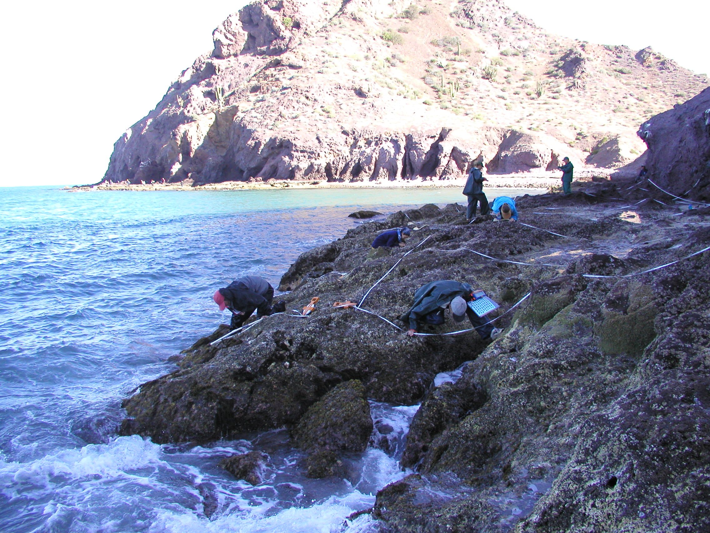
Biodiversity surveys within this region were established at four sites in 2003.
The MARINe sites located within the Gulf of California region are listed below (arranged north to south):
