Tar - Photo Plots | MARINe
Tar - Photo Plots
Last updated March, 2012
Previous Species | Next Species
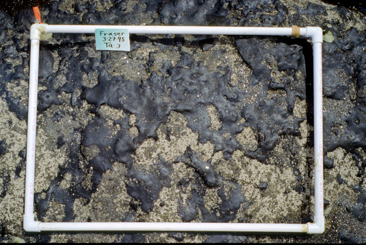
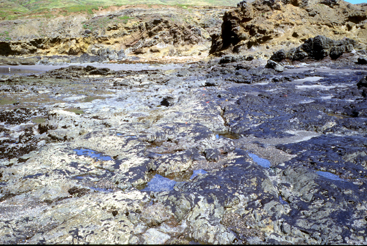
Petroleum tar is a non-biological feature targeted in some photoplots. For monitoring purposes, tar includes fresh or weathered oil or thicker tar coating the substrate. Both natural and anthropogenic in origin, floating oil and tar from seeps, leaks, and spills can wash ashore and stick to intertidal rocks. The Santa Barbara region in particular is rich with oil field deposits, with coastal tar seeps utilized historically by Native Americans to caulk their boats. Gas and oil/tar have been documented seeping from beneath shallow coastal waters such as off Coal Oil Point and from other deeper-water locations in the region. As a result, some shoreline areas along the islands and mainland can have locally dense tar cover in the upper intertidal, especially where wave action is slow to erode it. These areas may signify nearby seeps, or be a reflection of local conditions (e.g., currents, winds, swells and topography such as coves) that foster the accumulation of floating debris.
Tar was selected as a target feature to evaluate the longevity of tar patches, the frequency of fresh depositing, and its biological effects. Tar may smother barnacles, limpets, and other creatures; coat seaweeds (reducing their ability to utilize sunlight); and interfere with settlement and grazing by intertidal life. Seasonal and long-term interactions can be elucidated by monitoring both tar and marine species abundance trends.


