
Marker Poles | MARINe
Marker Poles
Click here for Long-Term trends
Click here for Biodiversity Survey findings
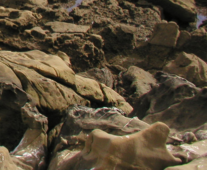
Marker Poles is located in the Southern Channel Islands. This site is near the San Nicolas Island/Freighter dock Mussel Watch site and is not accessible by the public, as it is on navy-owned San Nicolas Island. Visitation to this site is limited to fishing and tidepooling navy personnel and a handful of researchers. This gently sloping site consists of moderately uneven terrain, containing few cracks and folds.
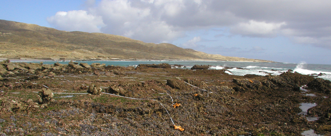
Marker Poles is dominated by consolidated bedrock, and the area surrounding the site is comprised of a mixture of consolidated bedrock and sandy beach. The primary coastal orientation of this site is southwest.
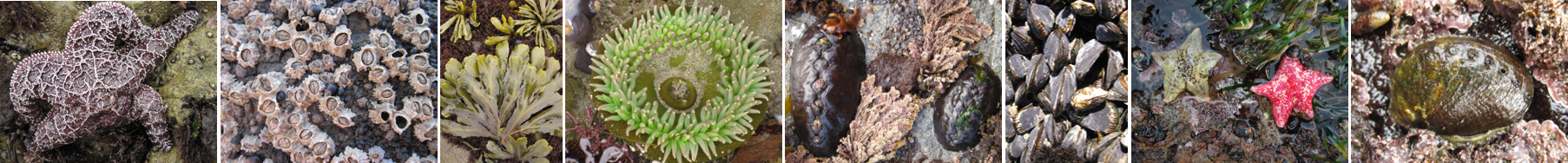
Long-Term Monitoring Surveys at Marker Poles were established in 2015 and are done by Navy Marine Ecology Consortium. Long-Term MARINe surveys currently target the following species: Chthamalus/Balanus (Acorn Barnacles), Mytilus (California Mussel), Hesperophycus (Olive Rockweed), Silvetia (Golden Rockweed), and Pisaster (Ochre Star) . Click here to view Long-Term trends at this site.
Biodiversity Surveys were done by University of California Santa Cruz in 2003, 2007, and 2013. The Biodiversity Survey grid encompasses one section that is approximately 30 meters (along shore) x 33 meters (seaward). Click here to view Biodiversity Survey findings at this site.
For more information about Marker Poles, please contact Jessica Curran (jessica.j.curran.civ@us.navy.mil) or Erica Pollard (erica.a.pollard2.civ@us.navy.mil).
