
Saddlebag South East | MARINe
Saddlebag South East
Click here for Long-Term trends
Saddlebag South East is located in the Washington Salish Sea. Saddlebag Island is located within Saddlebag Island Marine State Park and is part of the Padilla Bay National Estuarine Research Reserve NERR and managed as a boat-in marine park by the WA State Parks Dept. The island has maintained day use facilities, primitive camping and experiences moderate seasonal use. The area experiences complex tidal currents due to its location adjacent to tidal flats and major channels and is 3.8 km NE of two active oil refineries.
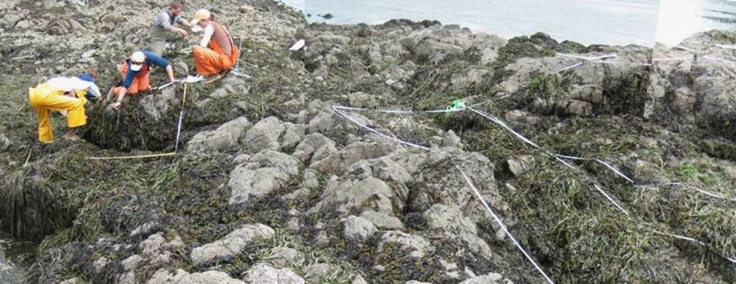
Saddlebag South East is dominated by a mixture of consolidated bedrock (metamorphosed serpentinite), boulder fields, and cobble beach, and similar in composition to the surrounding area. This mildly sloping site consists of extremely uneven terrain, containing many deep cracks, boulders and folds. The primary coastal orientation of this site is south.
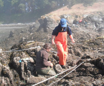
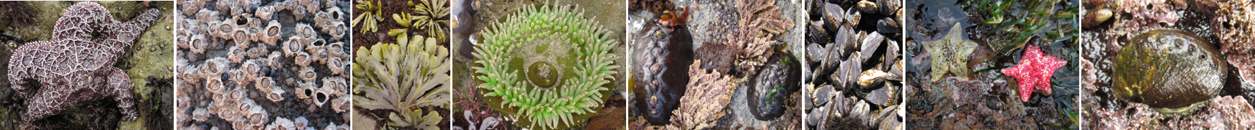
Long-Term Monitoring Surveys at Saddlebag South East were established in 2009, and are conducted by the Padilla Bay NERR staff. Long-Term monitoring surveys currently target the following species: Chthamalus/Balanus (Acorn Barnacles), Fucus (Northern Rockweed), and Pisaster (Ochre Star). Click here to view Long-Term trends at this site.
For more information about Saddlebag South East, please contact Heath Bohlmann (hbohlmann@padillabay.gov).
