
Treasure Island | MARINe
Treasure Island
Click here for Long-Term trends
Click here for Biodiversity Survey findings
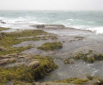
Treasure Island is located in the South Coast region of California, within the Laguna Beach State Marine Conservation Area. This site is located just below a luxury resort and is heavily impacted by high levels of human visitors. Docent educators are frequently on site. The site is a gently sloping bedrock bench separated by large pools and channels.
Treasure Island is dominated by consolidated bedrock, and the area surrounding the site is comprised of a mixture of consolidated bedrock, boulder fields, and sandy beach. Sand levels in the splash and upper intertidal zones vary greatly throughout the year. The primary coastal orientation of this site is west.
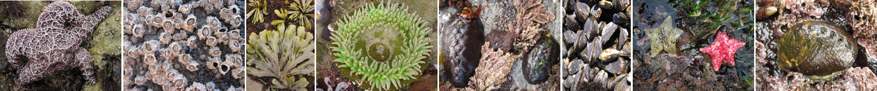
Long-Term Monitoring Surveys at Treasure Island were established in 1996, and are done by California State University Fullerton and California State Polytechnic University, Pomona. Long-Term MARINe surveys currently target the following species: Chthamalus/Balanus (Acorn Barnacles), Mytilus (California Mussel), Silvetia (Golden Rockweed), Rock (Above Barnacles), and Pisaster (Ochre Star). In addition, motile invertebrates and mussel size structure are monitored at this site. Click here to view Long-Term trends at this site.
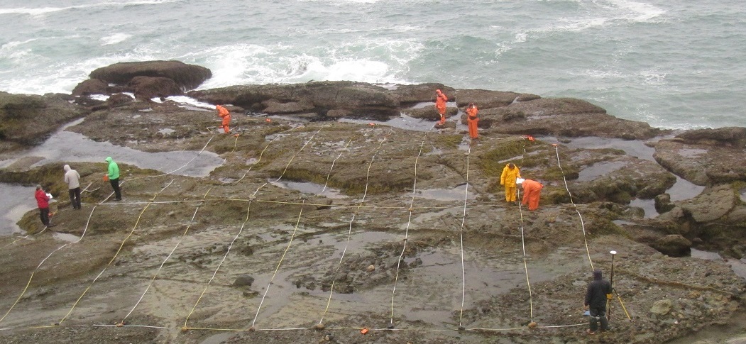
Biodiversity Surveys were done in 2017, 2021, and 2022. The Biodiversity Survey grid encompasses one section that is approximately 20 meters (along shore) x 25 meters (seaward).
For more information about Treasure Island, please contact Jennifer Burnaford (jburnaford@Fullerton.edu) and Jayson Smith (jaysonsmith@cpp.edu).
See Also
